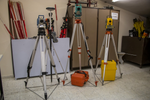
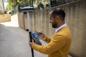
تأسس مختبر المساحة الأرضية والمتقدمة عام 1997 ويتبع هذا المختبر لدائرة الهندسة المدنية ويدعم المختبر التطبيقات المتعلقة بأنظمة المساحة ويحتوي على العديد من الأجهزة المستخدمة في المساحة والتي من شأنها تطوير المهارات العملية والتطبيقية لطلبة دائرة الهندسة المدنية.
The Ground and advanced surveying lab Aims to provide the student the skills for preparing the surveying maps with elevations ,countor maps and roads maps . With simple and advance equipment in land surveying . So that give the student ability to treatment with different types of map.
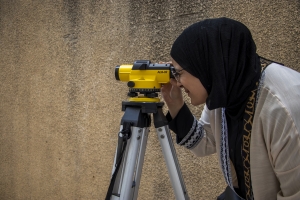
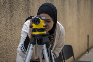
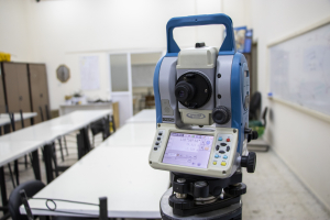
the lab conains for a lot of eqepment and devise , level instrment , thediolite instrument , Total station instrument , GPS instrument , Laser Scanner , Pipe laser , Planometer , and a lot of simple measuring tools
Safety procedures are very important, as the laboratory has special hats for protection from the sun for outdoor work and special gowns for working on the roads.
There is also a first aid corner.

