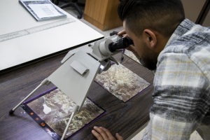
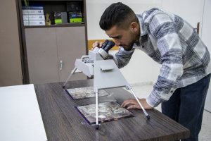
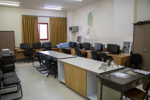
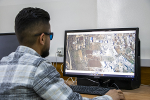
The Photogrammetric Laboratory was established in 1999 and serves students of the Civil Engineering Department.
Aerial photography is the process of photography conducted from the air. Often, air transportation, such as a plane, etc., is used to complete it. In this laboratory, we prepare engineering and digital maps, as well as the role of software and training in shortening the effort and time of government institutions and public and private sector companies in producing and updating all types of maps and plans using modern methods, as it implements all stages of the map from direct scanning, automated drawing, and digital cartography all the way to... The printing stage, then drawing contour lines, modifying aerial photographs (Orthophoto), and producing the DTM ground representation model.
It covers practical courses for students of the Bachelor of Surveying Engineering, Geomatics, and Surveying Diploma
1. photogrammetry / practical
2.digital and image processing / practical
3. phogrammetry I / paractical
4. phogrammetry II / paractical
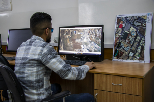
There are 13 workstations in the laboratory, and several software programs specialized in aerial and ground photography have been installed.
Erdas Imagine, Agi Soft, ArcGIS, Image-Station Softwares.
Taking into account a certain temperature due to the presence of computers
The presence of a fire extinguisher
Eng. Alia AlZeer
Dr. Ghadi Zakarna
Mr. Musab Shaheen

