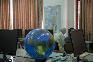
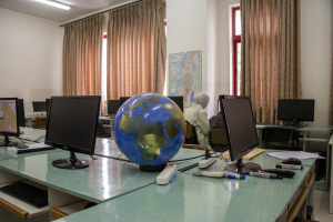
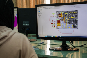
تأسس مختبر نظم المعلومات الجغرافية GIS عام 1999م وهو المختبر التابع لدائرة الهندسة المدنية في كلية الهندسة. تأتي أهمية المختبر من كونه واحداً من المرافق المهمة في العمل التخطيطي والجغرافي والمساحي، كما ويتم تدريس المساقات التي تمكن الطلاب من إنتاج خرائط موضوعية بكفاءة عالية.
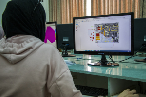
The GIS lab is one of the most important facilities in planning, geographic , surveying or other areas of application, due to the huge amount of data that surrounds us, making it difficult to perform analysis or mapping according to traditional or manual methods. The College of Engineering sees the need to move towards modern techniques in the planning work through the inclusion of GIS.
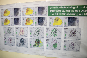
In the GIS laboratory, important and varied courses are taught: GIS, GIS analysis, mapping and remote sensing. The laboratory equipment is equipped with specialized technical programs in these which are used to analyze multi-source data such as aerial photos and satellite images
It covers practical courses for students of the Bachelor of Surveying Engineering, Geomatics, and Surveying Diploma
- GIS
- GIS Analysis
- Cartography
- Remote Sensing
- 25 computer
- A0 Scanner
- Display Screen
- several software programs specialized in GIS and Remote Sensing
- Taking into account a certain temperature due to the presence of computers
- The presence of a fire extinguisher
- Eng. Sawsan Al_Jabari
- Eng. Nidal Abu Rajab

